10 Cloud Facts That Are Far More Interesting Than They Appear
Clouds look like the background scenery of the sky, right up until you learn what they’re actually doing above your head

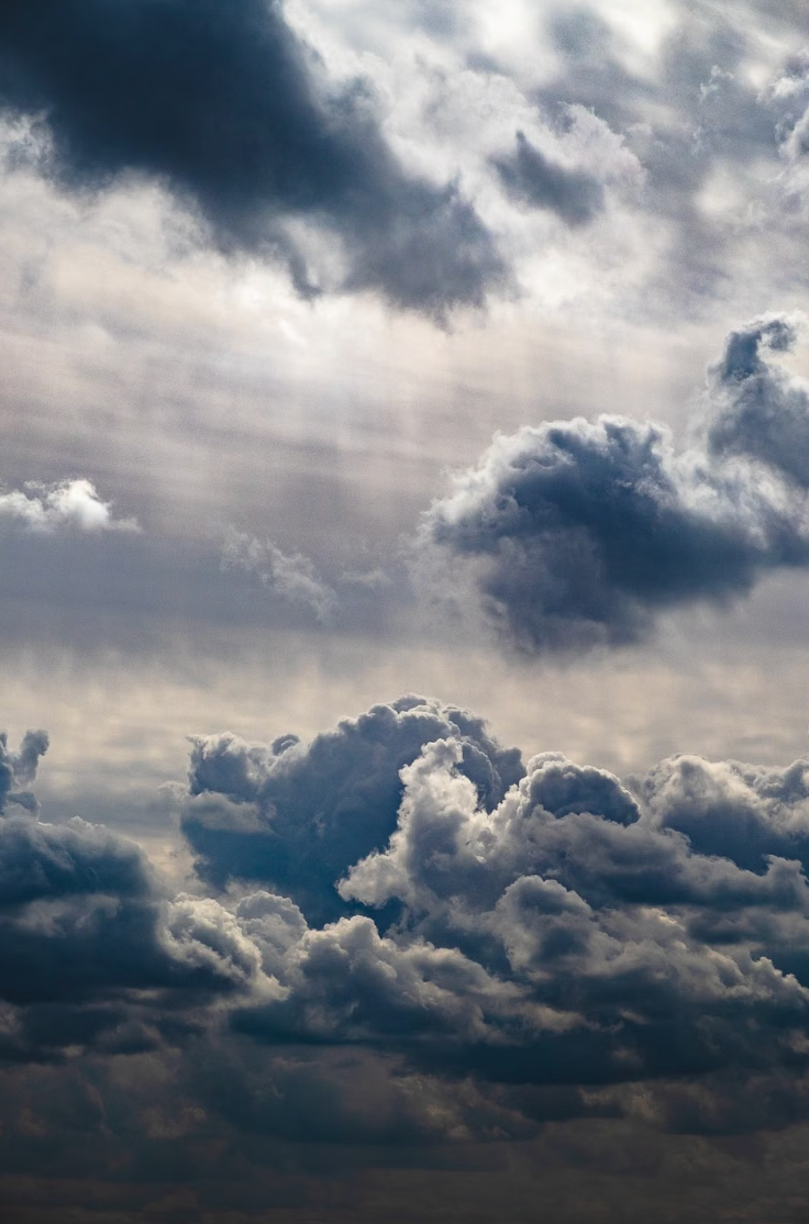
Clouds look like the background scenery of the sky, right up until you learn what they’re actually doing above your head. Some weigh more than passenger jets, some glow after sunset, and one type can punch a hole through another cloud so cleanly that people mistake it for something extraterrestrial.
Bigger and Heavier Than They Look
1. A typical cloud can weigh around 500 tons
That harmless-looking white cloud floating over your house may contain roughly 500 tons of water. A decent-sized cumulus cloud holds millions of tiny droplets spread across a huge volume of air. So why doesn’t the whole thing crash down? Those droplets are incredibly small, and rising air keeps them suspended. You’re effectively looking at hundreds of tons of water hanging overhead while everyone below casually gets on with lunch.
2. Clouds can stretch higher than Mount Everest
Some thunderstorm clouds make skyscrapers look microscopic. Powerful cumulonimbus clouds can climb beyond 12 miles (20 kilometers) in tropical regions, reaching roughly twice the height of commercial cruising aircraft and well above Mount Everest’s 5.5-mile summit. Their tops can push into the lower stratosphere before flattening into the familiar anvil shape. From the ground, you see a storm cloud. From the side, you’d see something closer to a floating mountain.
3. Clouds contain far less water than you’d guess
Here’s the weird counterpoint to that 500-ton cloud: most of it isn’t water. A typical cumulus cloud may contain only about half a gram of liquid water in each cubic meter. The rest is mostly ordinary air. Clouds look thick because countless microscopic droplets scatter sunlight extremely well. So that solid-looking white mass above you is closer to an enormous patch of damp air than a giant airborne swimming pool.
The Sky Gets Weird Fast
4. Some clouds look exactly like UFOs
Lenticular clouds form when moist air flows over mountains and creates standing waves in the atmosphere. Their smooth, stacked, lens-like shapes can look so artificial that you’d forgive someone for reaching for the alien explanation. They can also appear almost motionless even while strong winds race through them, because water droplets continually form on one side and evaporate on the other. Pilots tend to respect them for a less mysterious reason: they can signal severe turbulence.
5. Clouds can glow after the Sun has gone down
Noctilucent clouds appear so high in the atmosphere that sunlight can still reach them after darkness has fallen on the ground below. They form roughly 50 miles (80 kilometers) up, far above ordinary weather clouds, and often shine electric blue or silver against the night sky. Even stranger, their ice crystals can grow around tiny particles of meteor dust. You’re looking at clouds illuminated from below the horizon and partly built around debris from space.
6. Clouds can develop perfectly strange holes
Every so often, a broad cloud layer develops a huge circular or oval gap with wispy material falling from its center. It’s called a fallstreak hole, and it can look suspiciously like something enormous just punched through the sky. The real cause involves supercooled water droplets suddenly freezing, often after an aircraft passes through. The new ice crystals grow, fall, and cause nearby droplets to evaporate, leaving behind a spectacular hole that looks almost engineered.
Clouds Have Their Own Special Effects
7. A cloud can produce lightning hotter than the Sun’s surface
Inside a thundercloud, collisions between ice particles help separate electrical charges until the imbalance becomes too large. Then lightning happens. The air inside a lightning channel can briefly reach around 30,000°C (54,000°F), roughly five times the temperature of the Sun’s visible surface. The thunder comes from that extreme heating too: air expands explosively around the lightning channel, creating a shock wave. All of this can start inside a cloud that looked fluffy minutes earlier.
8. Clouds can make rain that never reaches you
You can sometimes watch rain fall from a cloud and disappear halfway to the ground. Meteorologists call those trailing streaks “virga.” The precipitation enters a layer of dry air and evaporates before reaching the surface, producing curtains that seem to fade into nothing. But virga can still affect you. Evaporation cools the surrounding air, which may sink rapidly and create strong, gusty winds near the ground. So disappearing rain can still cause very real trouble.
9. Clouds can create rainbows without rain
You don’t always need a rain shower to get rainbow colors in the sky. Tiny, similarly sized droplets in thin clouds can diffract sunlight and produce a phenomenon called cloud iridescence. Instead of a neat rainbow arc, you get pastel greens, pinks, blues and purples shimmering around the cloud’s edges. The colors often appear near the Sun, which makes them easy to miss. Sometimes the sky puts on its strangest display exactly where you shouldn’t stare directly.
One Cloud Has Its Own Name
10. Humans officially added a dramatic new cloud feature in 2017
Cloud classification isn’t frozen in the age of Victorian weather observers. In 2017, the World Meteorological Organization formally recognized “asperitas” as a supplementary cloud feature in its International Cloud Atlas. It looks like a rough ocean viewed from underneath, with dark, rolling waves spreading across the sky. Cloud enthusiasts had spent years documenting examples and pushing for recognition. So yes, people photographed enough weird clouds that the official vocabulary of the sky had to change.
Clouds become much harder to ignore once you realize they can weigh hundreds of tons, carry meteor dust and generate temperatures hotter than the Sun’s surface. Share this with someone who’ll never look at a harmless little cloud the same way again.

Craig Anderson
Author at SofaBreak — writing on facts and everyday curiosities.