10 Geographic Facts That Make No Sense Until You See the Map
Some geography facts sound made up until you actually look at a map. Then your brain does that weird double take where you realize the world doesn't match the version you've carried around since elementary school.

Some geography facts sound made up until you actually look at a map. Then your brain does that weird double take where you realize the world doesn't match the version you've carried around since elementary school. The farther you zoom in, the stranger things get.
Here are 10 geographic facts that only click once you see where everything actually sits.
1. Africa Is Much Bigger Than You Think
Most world maps shrink Africa without meaning to. The common Mercator projection stretches countries near the poles and compresses those near the equator. Africa could fit the United States, China, India, most of Europe, and still have room left over. Once you compare the true sizes side by side, you realize you've spent years underestimating an entire continent.
2. Alaska Sits Farther West, East, and North Than You'd Expect
Alaska doesn't just own America's northern edge. It stretches so far west that part of it crosses the 180-degree meridian into the Eastern Hemisphere. That means Alaska technically contains the westernmost and easternmost points in the United States. Most people picture it as a frozen block tucked beside Canada. The actual shape looks more like a giant arm reaching across the Pacific.
3. Maine Is the Closest US State to Africa
This sounds like a trick question, but it's true. Thanks to the curve of the Earth, parts of Maine sit slightly closer to Africa than Florida does. The distance from Maine to Morocco beats the distance from southern Florida to the same coastline. Your mental map probably places Florida as America's launch pad toward everything east. Geography had other plans.
4. South America Lies Almost Entirely East of North America
North America feels like the obvious "eastern" half of the Americas. Pull up a map and you'll notice that most of South America actually sits farther east. Cities like São Paulo line up more closely with Atlantic Africa than with much of North America. The continent's tilt changes how you picture the entire Western Hemisphere.
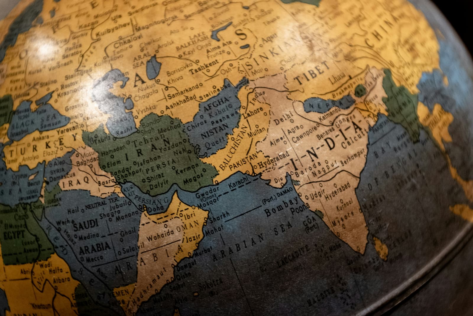
5. Russia and North Korea Share a Border
You rarely hear these two countries mentioned together, but they do touch. Their border measures only around 11 miles long and follows the Tumen River. It's one of the shortest international borders on Earth. Because China dominates maps of the region, that tiny connection often slips past unnoticed.
6. Chile Is Absurdly Long and Narrow
Chile hugs South America's western coast like someone dragged a paintbrush down the continent's edge. The country stretches more than 2,600 miles from north to south while averaging only about 110 miles wide. You could drive across some US states in less time than it takes to travel Chile's full length. The country spans deserts, glaciers, forests, and wine country without ever getting particularly wide.
7. The Pacific Ocean Is Bigger Than All the Land Combined
The Pacific covers more area than every continent put together. It spans roughly one-third of Earth's surface and touches five continents. Looking at a standard map, oceans often fade into the background while countries steal the spotlight. The scale of the Pacific reminds you that our planet earns the nickname "the blue planet" for a reason.
8. Canada Has More Lakes Than the Rest of the World Combined
Canada doesn't just have a lot of lakes. It dominates the category. Scientists estimate the country contains more lakes than all other nations combined. Some hold official names. Thousands don't. You could spend a lifetime exploring them and still miss most of what the country hides between its forests and rocky landscapes.
9. Greenland Looks Huge, but Australia Is Bigger
Map projections strike again. Greenland appears enormous on classroom maps, sometimes rivaling Africa in visual size. In reality, Australia covers significantly more land area. Greenland ranks as the world's largest island, which sounds impressive until you realize Australia exceeds it by millions of square miles. The comparison exposes how easily maps can fool your eyes.
10. Nepal's Elevation Changes Faster Than Almost Anywhere Else
Nepal packs dramatic geography into a surprisingly compact space. Within a relatively short distance, you can move from lowland plains to the slopes of Mount Everest, Earth's highest peak. The country contains tropical environments and alpine conditions within the same national borders. Few places let you experience such extreme shifts without crossing into another country.
Maps don't just tell you where things are. They quietly shape how you imagine the world, and sometimes they get that story wrong. Share this with someone who thinks they know geography cold. Number three alone might start an argument.
Clara Rhodes
Author at SofaBreak — writing on facts and everyday curiosities.